Settlement Development in Mesopotamia
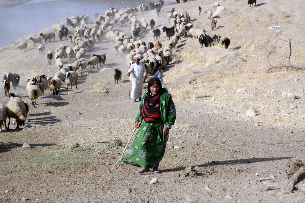 At the foot of Zagros mountains (Iran) | © P. Sconzo
Subproject:
B 07 A Hunt for Basic Commodities? Dynamics of Settlement Development in the Northern Periphery of Mesopotamia
Project leadership:
Prof. Dr. Peter Pfälzner, Prof. Dr. Thomas Scholten
Staff:
Dr. Paola Sconzo
Region:
Middle East
How did the networks in Mesopotamia in the 3rd and 1st millennium B.C. function? How did they emerge and why did they disappear?
Through common archaeological-geographical fieldwork, the project ‚A Hunt for Basic Commodities? Dynamics of Settlement Development in the Northern Periphery of Mesopotamia’ dissects and interprets the main resources of networks: the agricultural potential based on a soil study, the role of water in the form of rivers, springs and wells and regional and interregional exchange on the basis of paths, topographical landscape forms and settlement distribution patterns. In this way it will be possible to determine how resource complexes have been activated in particular periods and to what level of complexity they have developed. It should become possible to differentiate between networks on the macro-, meso- and micro-level and thereby to facilitate our insight into the evolution and devolution of resource complexes.